GTA VI database · Status: no official map yet
GTA 6 Map
There is no GTA 6 map yet. Rockstar has not released the game world map, and no real one exists anywhere — the “leaked GTA 6 maps” doing the rounds are fan drawings. What’s below is a reference map.
Every place Rockstar has actually named is positioned on its real-world Florida
analogue below, so you can see how the state fits together.
This page is already built for the real thing. The moment the map is out we drop the
image in and every marker, filter and popup below keeps working — see
js/map.js, one config line.
Reference mode. The background is our own outline of the real Florida coast, drawn from public-domain data (U.S. Census Bureau, Natural Earth). It is not the game map: Rockstar has not published one. No outside map service is loaded. Marker positions are approximate real-world analogues, not in-game coordinates.
Named by Rockstar, but not placed
Rockstar has used these names in its own copy without saying where any of them is. They get no pin, because a pin is a claim about position and we do not have one.
Rockstar’s own words
The six destinations, and what Rockstar says about each
Rockstar’s People & Places page names six destinations and writes a paragraph on each. That is the strongest official description of Leonida’s geography that exists, so every word below is quoted from it rather than summarised by us. Tap any card to open it on the map.
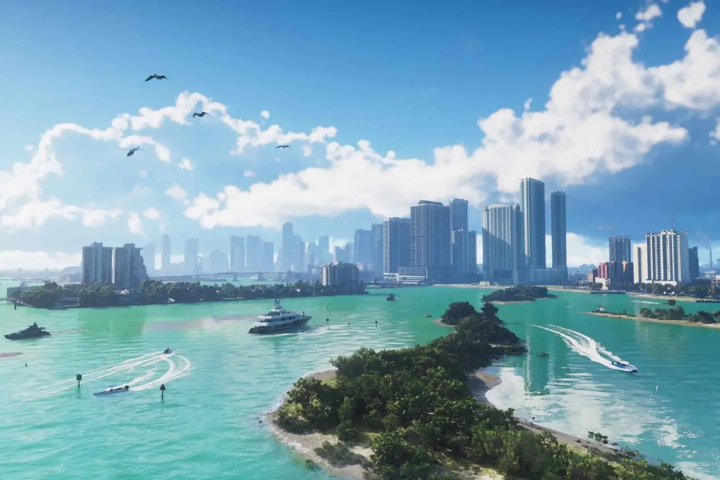
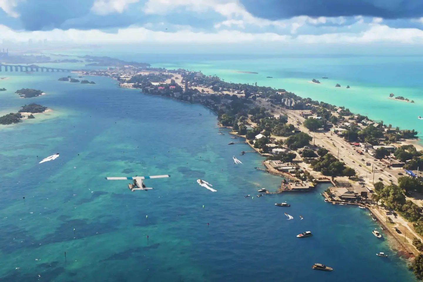
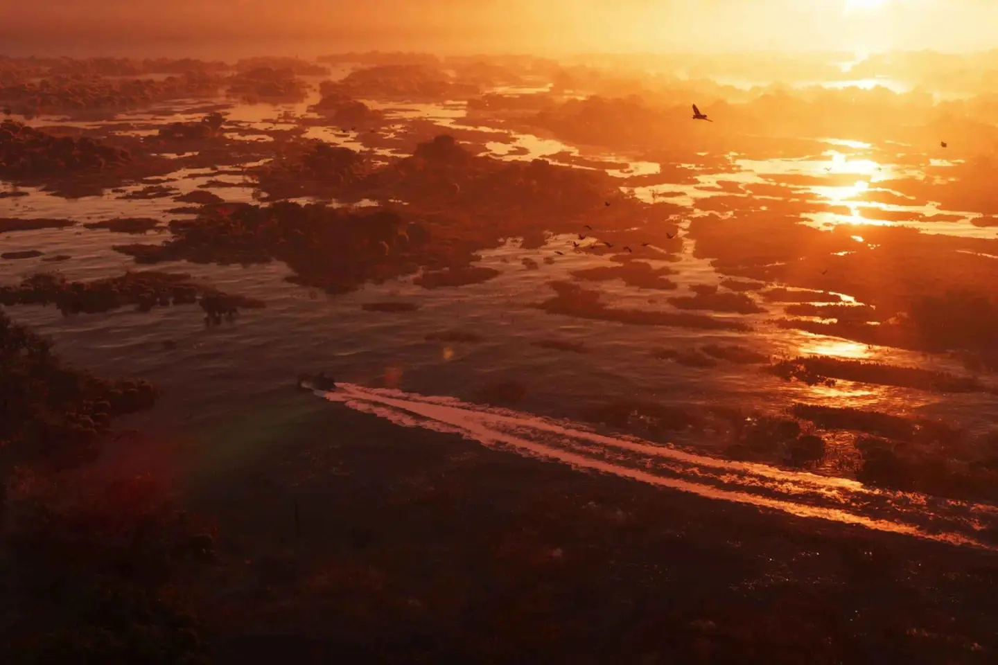
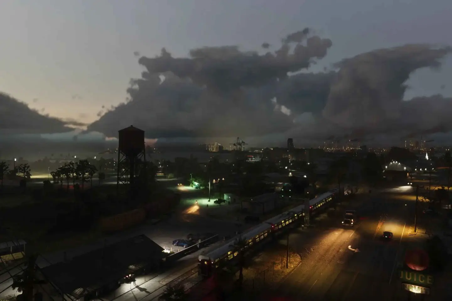
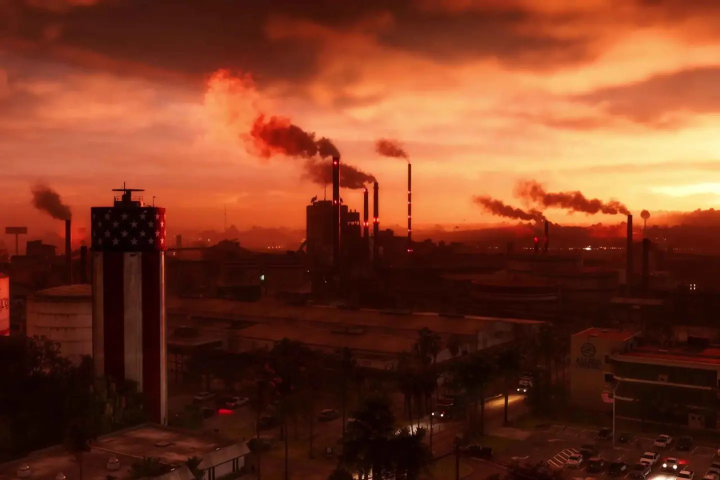
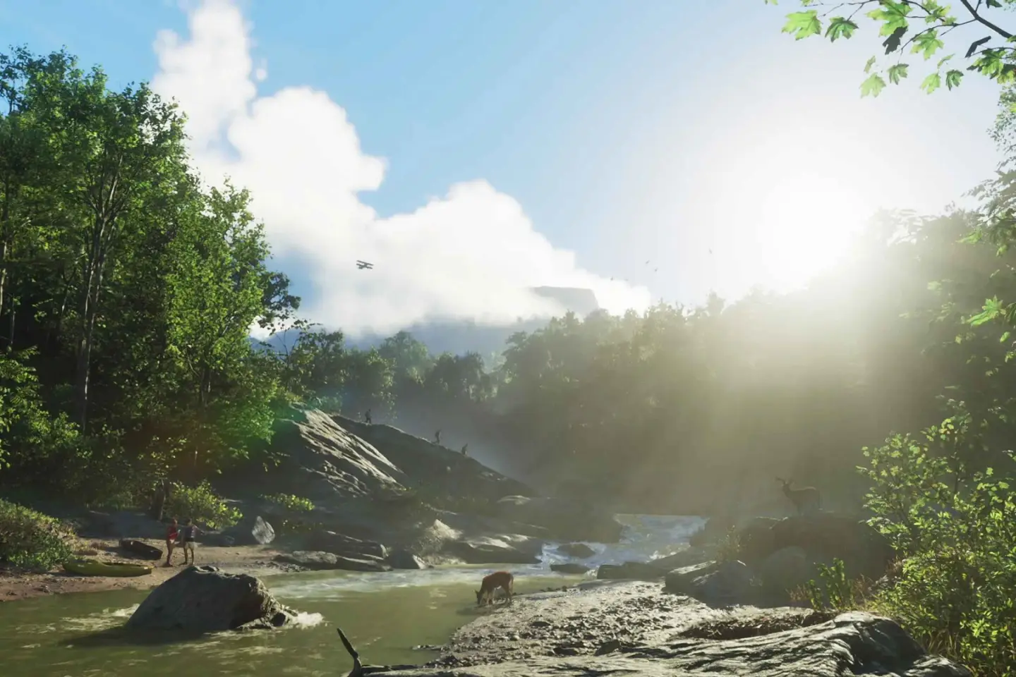
Source for all six: rockstargames.com/VI/only-in-leonida. Counties are not pinned: Rockstar has shown county names on road signs — Kelly County (Extended Look 18:41), Mariana County and Vice-Dale County (Trailer 2, 2:28) — but not where their borders run, so they sit in the named-but-unplaced list below. County names that exist only in the 2022 or 2026 leaks are not published here, not even labelled as unverified. These six are the taxonomy, because they are Rockstar’s own.
Read off official signage
Roads and places we can actually name
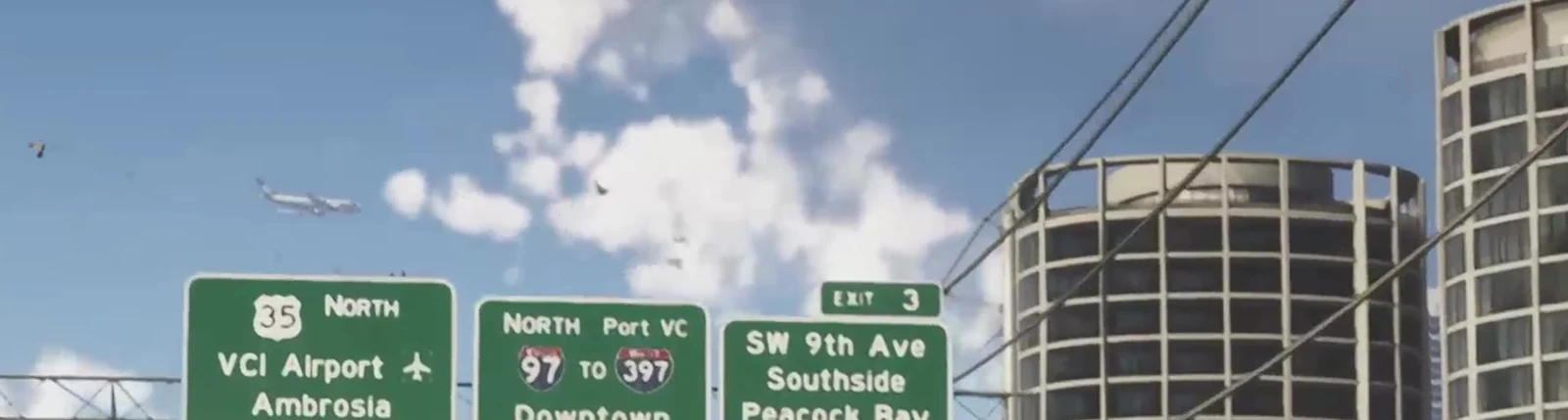
Rockstar has published no map. But road signs are map data, and there are signs in the trailers you can read — so these are the only Leonida place names that come with a source instead of a rumour.
Highways
US 35 — signed north toward the airport.
I‑97 — signed north toward the port and downtown.
I‑397 — an interstate spur, signed as a connection from I‑97.
Places
VCI Airport — with an aircraft glyph, and an airliner
overhead in the same shot.
Port VC · Downtown · Ambrosia ·
Southside · Peacock Bay
Streets
SW 9th Ave, signed at Exit 3. The quadrant prefix matters: it means at least part of the city runs on a numbered grid rather than named streets.
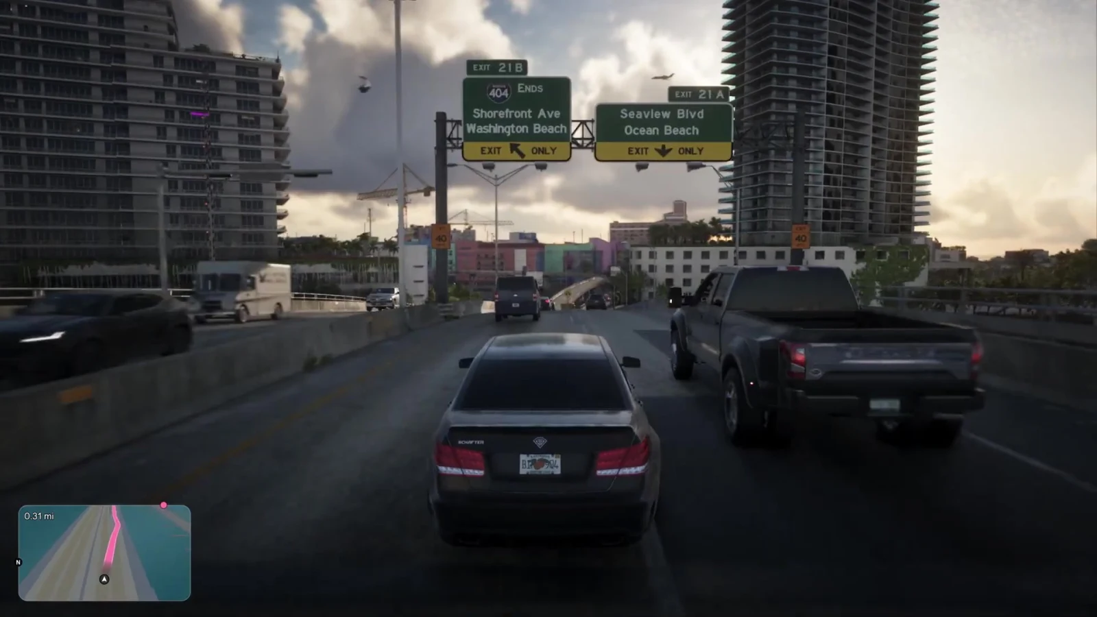
From the Extended Look
Shorefront Ave · Washington Beach · Seaview Blvd · Ocean Beach
From elsewhere
Route 404 East → Vice-Dale, signed on a
junction out of the city (Extended Look, 11:40) — the first time the name appears
on an actual road sign. What it labels is not sourced — Rockstar has never named a
county in Leonida.
Hamlet — a small town, named in the caption of
an in-game social post in Trailer 1.
How to check us
Every name above is on screen in a Rockstar video at the timestamp given. Open the trailer, go to the second, read the sign. If we ever get one wrong, that is how you will catch it.
From the full two-frames-a-second sweep
Every name below was cropped at native resolution before it went here. Rialto Islands and Vice Beaches on one overhead gantry (08:44) · Delphino Cir (08:53) · Rialto W… on a bridge pillar with a BIKE LANE sign (08:57) · SW 4th St (18:12) · EXIT 21B and 404 ENDS on the Shorefront / Washington Beach gantry (13:07) · a toll-by-plate plaza with DO NOT STOP placards (16:32) · Vice Beach, the force on the police cruisers (15:48) · and the state plate itself: LEONIDA — GOODTIME STATE, orange-fruit design (16:42).
Named on Rockstar’s own site
These come from the text on rockstargames.com/VI rather than a frame, so they have names but no position: Little Cuba, the Tisha-Wocka flea market, VC Port (“the cruise ship capital of the world”), Southside, Stockyard, Watson Bay, Lake Leonida, Shore Drive and Washington Beach. We will not pin them until the real map shows where they are.
What this is not. This is not a map of Leonida and it is not a district list. It is the set of names Rockstar has actually put on screen. Any site showing you a full street index or a square-mileage figure right now is making it up — no map and no map size has been published.
What lands here at launch
The real map, properly mapped
The game map image
Full-resolution, pan and zoom, at the real scale — dropped straight into the viewer below this text.
Collectibles & stunt jumps
Every collectible plotted and tickable, saved in your browser as you find them.
Mission & property pins
Cross-linked to our walkthroughs so a pin opens the guide for it.